
Technical well data helps companies manage and analyze current situation, while also helping them find new opportunities. From permitting to acquisition, to use, our well data represents the life cycle of the asset.
USLandGrid Well Data is founded on the PPDM (Professional Petroleum Data Management) data model to support the best practice needs of operators around the globe.
What Do We Offer?
We are a GIS data mapping company that provides current and historic well data including permits, units, well headers, formation tops, perforations, casings, completions, surveys, initial potentials, dsts, historic production, and monthly production.
Allocated production is calculated within our data based on the individual wells contributing to the reported aggregate lease production.
Sidetracks and recompletes are fully accounted for through our standardized 14-digit API system. The sidetrack code is the eleventh and twelfth digits of our API numbers, with the first sidetrack represented by 01. The recomplete code is the thirteenth and fourteenth digits of our API number.
Our well data is purchased, not leased. You will never need to remove our data from your maps (you own it). Pricing is per year or twelve months. Updates are provided monthly during the year.
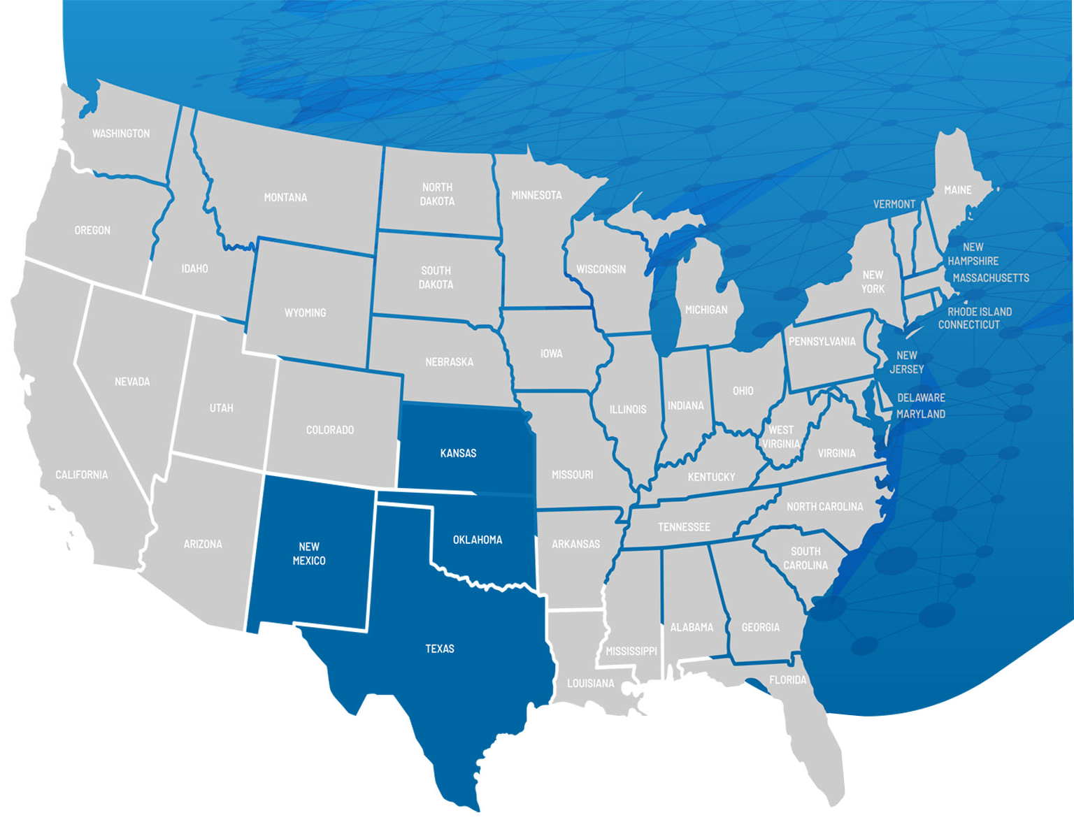
Buy the county, or the state. Our Well Data packages are designed to meet all needs and budgets.
Recent Posts
- Can Uslandgrid.com Transform Your Well Data Analysis Experience?
- What Distinct Advantages Does The PPDM Data Model Offer Over Traditional Models?
- Are You Leveraging The Full Potential Of Well Header Information For Exploration?
- How Can Uslandgrid.com Revolutionize Your Access To Well Data?
- How Can Historical Production Trends Illuminate Future Well Success?
Why Does Well Data Matter?
The best thing about well data is that it is current and historical. By analyzing a well life cycle the user can see the original permit, through to those first perforations and initial production. We can see what formation(s) was targeted and the depths and trajectory of the well bore. In most cases, we can see what went right, what went wrong, and what changes were made along the way.
These days, analytics are one of the most important capabilities for individuals to make informed decisions, especially in the energy sector. With data volumes becoming exceedingly larger, good data, and good data management are critical for quick access to accurate information.